
About Chikun
Learn about the geography, people, and culture of Chikun Local Government Area.
General Information
Leadership
- Executive Chairman: Hon. Engr. Salasi Nuhu Musa.
- Vice Chairman: Hon. Lawal Najume.
- Speaker of the Legislative Council: Hon. Dogara Audu.
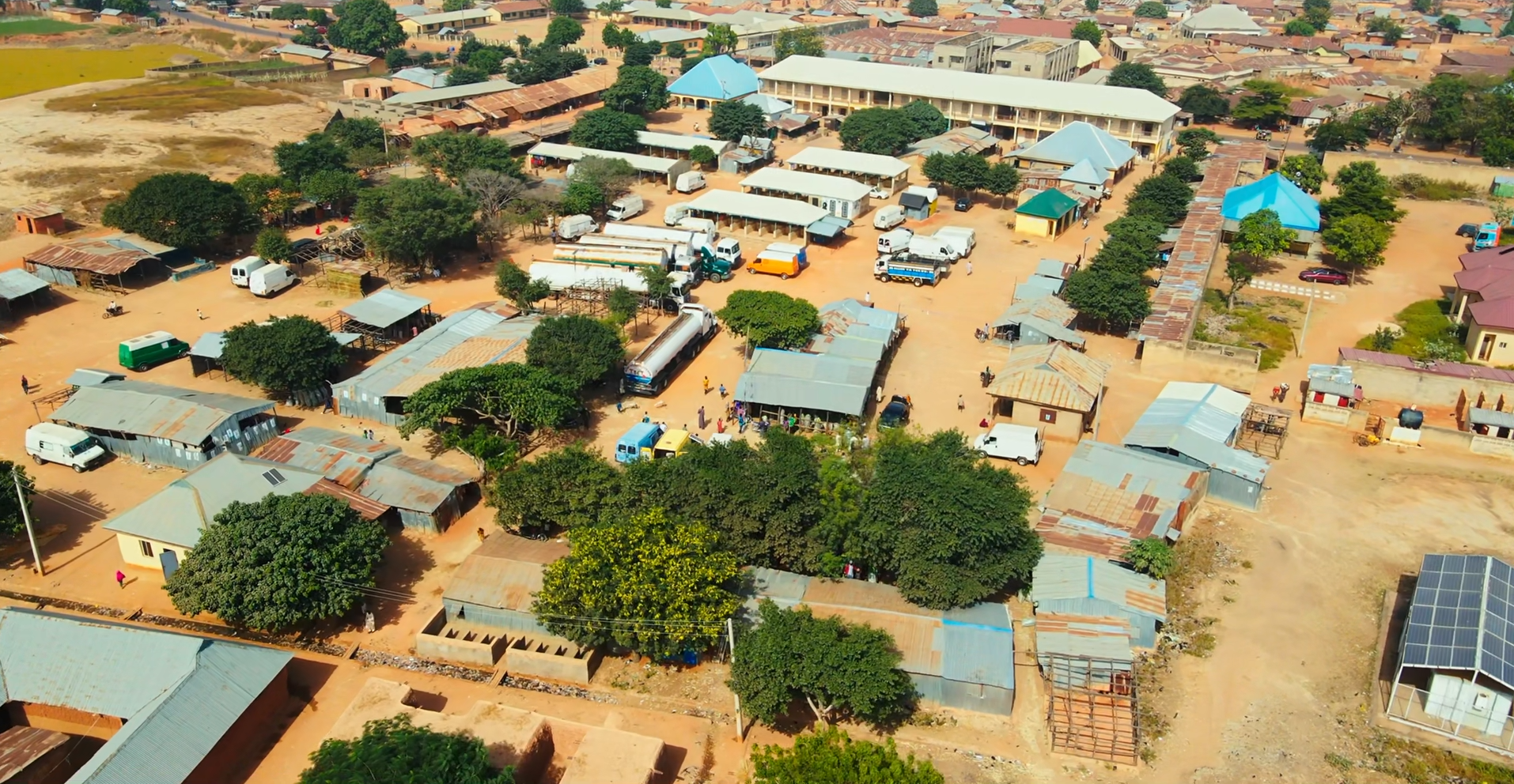
Location & Geography
- Location: Central Kaduna State, Nigeria
- Headquarters: Kujama
- Land Area: Approximately 4,466 km²
- Neighboring LGAs: Igabi, Kaduna South, Kajuru, Kachia, Birnin Gwari, and Giwa.
Demographics
- Major Ethnic Groups: Gbagyi (indigenous), Hausa, Fulani.
- Languages Spoken: Gbagyi, Hausa, and English.
Economy & Climate
- Main Economic Activities: Agriculture, livestock rearing, trading, and small-scale industries.
- Climate: Tropical climate with rainy season from May to October and dry season from November to April.

Geography & Economy
Location
Chikun Local Government Area is strategically located around Kaduna metropolis, making it an important residential and agricultural zone that supports the urban population of Kaduna city.
Climate
The area lies within the Northern Guinea Savannah belt with fertile soils and moderate rainfall suitable for crop farming and livestock rearing.
Main Economic Activities
- Crop Farming: Maize, rice, cassava, yam, millet, and sorghum.
- Livestock Rearing: Cattle, goats, sheep, and poultry.
- Trading: Local markets and commercial centers across Sabon Tasha, Narayi, and other communities.
